USGS Climate Data Fellowship at the National Climate Adaptation Science Center
To submit your application, scroll to the bottom of this opportunity and click APPLY.
A complete application consists of:
- An application
- Transcripts – Click here for detailed information about acceptable transcripts
- A current resume/CV, including academic history, employment history, relevant experiences, and publication list
- One educational or professional recommendation.
All documents must be in English or include an official English translation.
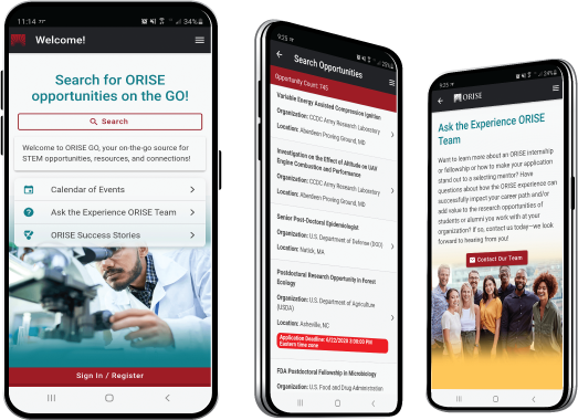
Connect with ORISE...on the GO! Download the new ORISE GO mobile app in the Apple App Store or Google Play Store to help you stay engaged, connected, and informed during your ORISE experience and beyond!
*Applications will be reviewed on a rolling-basis.
USGS Office/Lab and Location: A research opportunity is currently available with the U.S. Geological Survey (USGS) at the National Climate Adaptation Science Center (NCASC) located in Reston, Virginia. Remote participation is a possibility.
The USGS mission is to monitor, analyze, and predict current and evolving dynamics of complex human and natural Earth-system interactions and to deliver actionable intelligence at scales and timeframes relevant to decision makers. As the Nation's largest water, earth, and biological science and civilian mapping agency, USGS collects, monitors, analyzes, and provides science about natural resource conditions, issues, and problems.
The National Climate Adaptation Science Center (NCASC) is a national center for independent and collaborative research on climate change vulnerability and adaptation. It also serves as the managing entity for the broader CASC network, providing leadership and guidance in administration, communication, partnership coordination, and data/program management. https://www.usgs.gov/programs/climate-adaptation-science-centers/national-casc-0
Research Project: Climate change has broad and complex effects on natural systems, impacting everything from how plants grow to how often a region floods. Traditional management paradigms, which look to the past to guide decisions, are becoming less effective in this changing world. As a result, many resource stewards are searching for new and innovative tools to help guide their landscapes into the future. The National Climate Adaptation Science Center (NCASC) generates science and decision-making tools to help our nation respond to novel resource management challenges brought on by climate change.
The selected participant will co-develop standardized data management approaches and workflows for projects funded by the CASC network. Through this research experience, the fellow will have the opportunity to explore earth science community standards for the intake and publication of gridded data sets; contribute to the conversion of data holdings to cloud-optimized formats; and develop documentation of best practices for the handling of big datasets. The participant will assist with curating spatio temporal asset catalog (STAC) metadata and enhancing technical support for data visualizations of CASC data collections. This research will support scientists, data managers, and resource managers throughout the data lifecycle, by contributing to data accessibility and reuse.
Learning Objectives: The objectives are to help the NCASC manage big data and to develop data processing workflows in support of actionable, open, and replicable science. Through this experience, the participant will have the opportunity to: develop innovative solutions to big data challenges; apply recent advances in cloud computing environments and open metadata standards; expand their technical skill set for conducting research; and receive mentoring from data scientists and engineers through a collaboration between the CASC network and USGS Water Resources Mission Area.
Mentor: The mentor for this opportunity is Ellen Brown (ellenbrown@usgs.gov). If you have questions about the nature of the research, please contact the mentor.
Anticipated Appointment Start Date: August 1, 2024. Start date is flexible and will depend on a variety of factors.
Appointment Length: The appointment will initially be for one year but may be extended upon recommendation of USGS and is contingent on the availability of funds.
Level of Participation: The appointment is full-time.
Participant Stipend: The participant will receive a monthly stipend based on education and experience. The current (full-time) stipend range for this opportunity is $59,966 - $86,962 per year plus an additional travel and supplies allowance.
Citizenship Requirements: This opportunity is available to U.S. citizens and Lawful Permanent Residents (LPR) only.
ORISE Information: This program, administered by ORAU through its contract with the U.S. Department of Energy (DOE) to manage the Oak Ridge Institute for Science and Education (ORISE), was established through an interagency agreement between DOE and USGS. Participants do not become employees of USGS, DOE or the program administrator, and there are no employment-related benefits. Proof of health insurance is required for participation in this program. Health insurance can be obtained through ORISE.
Questions: If you have questions about the application process please email USGS@orau.org and include the reference code for this opportunity.
The qualified candidate should have received a master or doctoral degree in one of the relevant fields. Degree must have been received within the past five years.
Preferred Skills:
- Background and capability in data science and computing, including experience with multiple languages, frameworks, and technologies -- such as Python, R, QGIS, GDAL, Git, or similar.
- Experience with processing and analysis of gridded data and cloud optimized data formats in Python – relevant libraries include xarray, zarr, dask, netCDF, fsspec.
- Knowledge of, and ability to implement, scientific metadata standards and protocols – familiarity with Climate and Forecast (CF) Metadata Conventions.
- Strong analytical, troubleshooting, and critical thinking skills.
- Ability to clearly communicate technical concepts, assess workflows, and prepare well-written documentation of methods.
- Knowledge of Quality Assurance / Quality Control as it applies to geospatial or climate data sets and analysis.
- Experience with relational databases, data manipulation, and data visualization.
- Knowledge of analysis ready, cloud optimized data formats and experience with reading and writing data in the cloud.
- Familiarity with Spatio Temporal Asset Catalogs (STAC).
- Ability to collaborate effectively and productively in digital collaboration and communication environments with teams of diverse professionals.
- Citizenship: LPR or U.S. Citizen
- Degree: Master's Degree or Doctoral Degree received within the last 60 month(s).
- Minimum Overall GPA: 3.50
- Discipline(s):
The ORISE GO mobile app helps you stay engaged, connected and informed during your ORISE experience – from application, to offer, through your appointment and even as an ORISE alum!