GIS Applications to Risk Management of Water Resources
A complete application consists of:
- An application
- Transcripts – Click here for detailed information about acceptable transcripts
- A current resume/CV, including academic history, employment history, relevant experiences, and publication list
- Two educational or professional references
All documents must be in English or include an official English translation.
If you have questions, send an email to EPArpp@orau.org. Please include the reference code for this opportunity in your email.
A postgraduate research training opportunity is currently available at the U.S. Environmental Protection Agency’s (EPA) Office of Research and Development (ORD)/National Risk Management Research Laboratory (NRMRL). The appointment will be served in the Land and Materials Management Division (LMMD) in Cincinnati, OH.
To better understand the risks to human health and the environment, the research participant may broadly conduct research utilizing GIS to assess potential sources of contamination and their impacts to water resources, including surface water, ground water, and coastal/estuarine systems. Additionally, with increased frequency of significant precipitation events and coastal flooding, the research participant may be involved in identifying areas where contaminated sites may be impacted. Lastly, incorporating data on depth to water geographically in GIS may provide key information in understanding vapor intrusion. The research participant may conduct research integrating GIS with contaminant transport modeling to improve parameter-based indices vulnerability assessments. In collaboration with EPA scientists the research participant may be involved in developing GIS applications for oil slick and plume detection for oil spill response and preparedness. This research may assist states, tribes, and federal agencies in addressing these sources of contamination.
This program, administered by ORAU through its contract with the U.S. Department of Energy to manage the Oak Ridge Institute for Science and Education, was established through an interagency agreement between DOE and EPA. For additional information about this program, please visit https://orise.orau.gov/epa/.
The appointment is full time for one year and may be renewed upon recommendation of EPA and contingent on the availability of funds. The participant will receive a monthly stipend. Funding may be made available to reimburse the participant’s travel expenses to present the results of his/her research at scientific conferences and stakeholder venues. No funding will be made available to cover travel costs for pre-appointment visits, relocation costs, tuition and fees, or participant’s health insurance. The participant must show proof of health and medical insurance. The participant does not become an EPA employee.
The mentor for this project is Brian Dyson (dyson.brian@epa.gov). The desired start date for this appointment is May 1, 2018.
Applicants must have received a master’s degree in geography with an emphasis on GIS in environmental applications or a related field within five years of the desired starting date, or completion of all requirements for the degree should be expected prior to the starting date. Experience in ArcGIS, spatial statistical analysis and application of models in assessing spatial risk is desired.
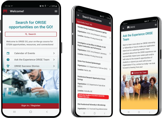
The ORISE GO mobile app helps you stay engaged, connected and informed during your ORISE experience – from application, to offer, through your appointment and even as an ORISE alum!